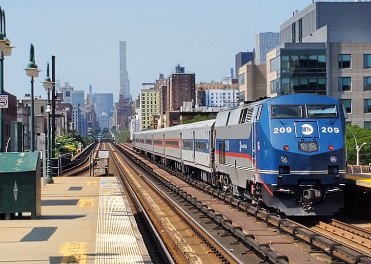
The arrival of four new Metro-North Railroad stations in the East Bronx – Hunts Point, Parkchester/Van Nest, Morris Park, and Co-Op City – represents a generational opportunity to expand access to transit, housing and economic opportunity. Realizing that potential responsibly required a rigorous, transparent environmental review process; one defined by technical complexity and deep community context.
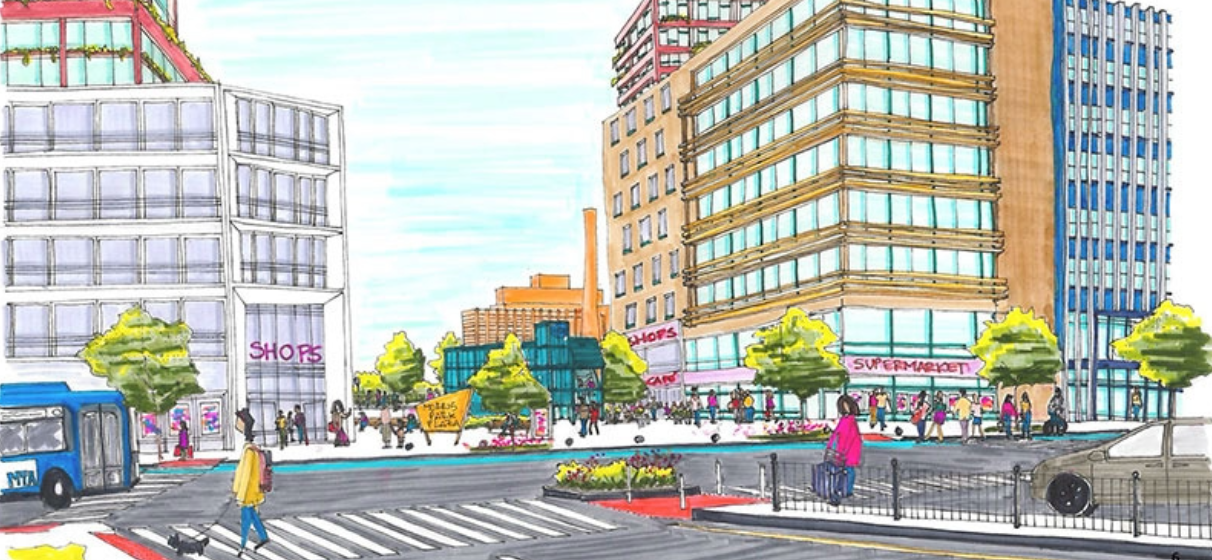
To advance that goal, STV, on behalf of the New York City Department of City Planning (NYCDCP) prepared the Bronx Metro-North Station Study Environmental Impact Statement (EIS), a comprehensive analysis supporting proposed land use and zoning actions surrounding the future stations at Parkchester/Van Nest and Morris Park. The multi-year effort examined how growth could be accommodated across a dense, transit-rich corridor while protecting neighborhood character and quality of life.
Distilling an Extraordinary Volume of Data
At the core of the EIS was an unprecedented amount of information. STV evaluated 96 projected and potential development sites across a 46-block study area, analyzing land use, zoning density, traffic, transit, air quality, noise, hazardous materials, flooding, shadows and construction impacts. Using advanced GIS mapping and 3D modeling, the team layered datasets from multiple agencies to understand how individual development decisions could affect surrounding neighborhoods.
“The challenge wasn’t just the volume of data; it was how interconnected everything was,” said Kelly Bird, STV’s project manager. “A zoning change in one location could influence traffic, noise or open space access several blocks away. Our role was to translate that complexity into clear, defensible analysis.”
STV compared future conditions with and without the proposed actions. The analysis projected up to 7,000 new housing units, more than one million square feet of commercial space, and 1.2 million square feet of community facilities, providing planners and decision-makers with a realistic picture of long-term outcomes.
Centering Communities in Technical Analysis
Beyond environmental metrics, the EIS placed a strong emphasis on socioeconomic conditions. STV led detailed analyses of housing trends, business activity and potential indirect displacement, identifying where communities might be most vulnerable to change and where mitigation strategies could help preserve affordability and neighborhood stability.
“This work was about people as much as infrastructure,” Bird said. “We weren’t just evaluating buildings. We looked at how residents live, move and access opportunity, making sure those realities were reflected in the technical work.”
Transportation analysis examined 56 intersections and future conditions for vehicles, transit riders, pedestrians and cyclists. STV identified targeted mitigation strategies – from signal timing adjustments to intersection improvements – helping verify that growth could be supported without overburdening local streets.
Supporting Informed, Transparent Decision-Making
STV also played a critical role in supporting public review and agency coordination. The team assisted NYCDCP through multiple public comment periods, responding to hundreds of comments and refining technical analyses to address community and agency feedback. When updated materials were requested ahead of City Council review, STV delivered revised documentation on an accelerated timeline so that decisions were informed by the most current data available.
“Environmental review builds trust,” Bird said. “That trust comes from being thorough, objective and responsive – especially when communities are directly affected.”
Approved unanimously by the New York City Council, the final EIS now serves as the foundation for one of the most significant transit-oriented planning initiatives in the Bronx in decades. By transforming data into actionable insight, STV helped chart a path for growth that balances mobility, housing and environmental responsibility – setting the stage for long-term community benefit as Metro-North service comes to the Bronx.