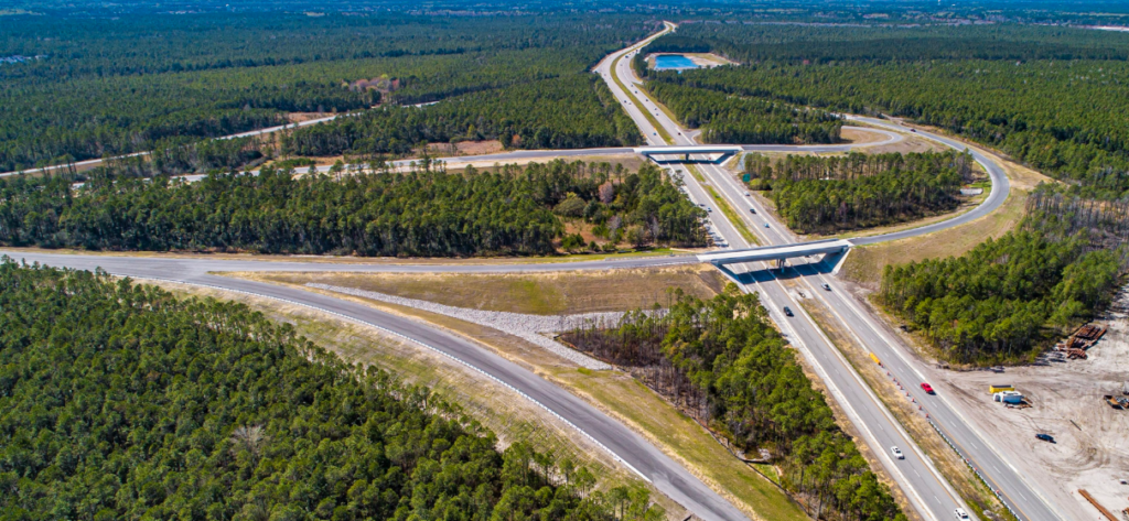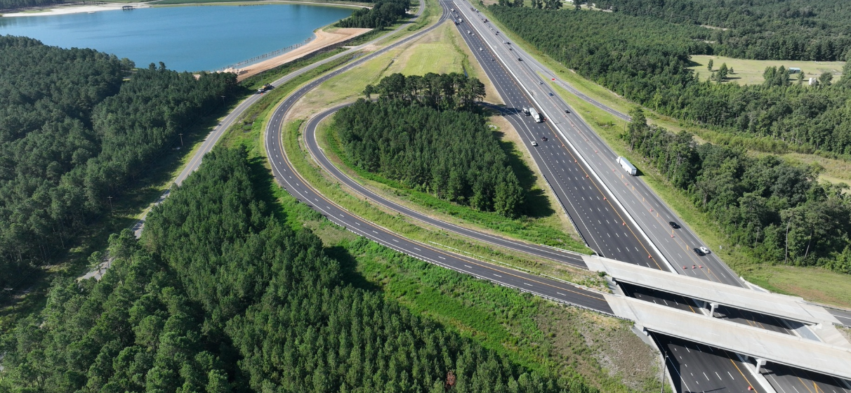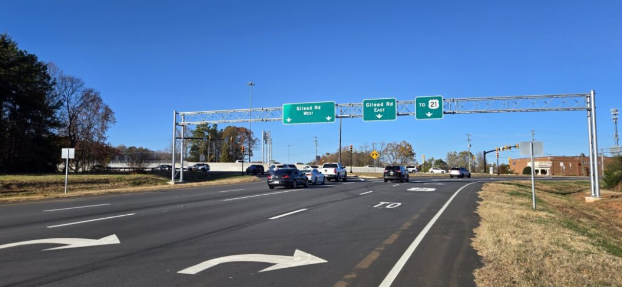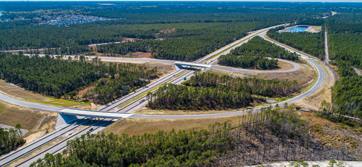
When the North Carolina Department of Transportation (NCDOT) first considered extending Wilmington’s Military Cutoff Road, southeastern coastal North Carolina was only beginning to experience the rapid growth that would eventually reshape the region. Development along the Market Street and US 17 corridors steadily intensified, creating congestion on infrastructure never intended to support such sustained demand.
Recognizing the need for a long-term mobility solution, NCDOT engaged STV to help lead the design of the Military Cutoff Road Extension (U‑4751) – a crucial investment aimed at expanding the region’s roadway capacity, improving north-south connectivity and supporting future travel reliability. STV’s role encompassed roadway and structural design, hydraulics, traffic control, permitting and construction administration support, positioning the firm at the center of one of the region’s most consequential transportation improvements.
As long‑range planning forecasts now indicate that the population within the Wilmington Urban Area Metropolitan Planning Organization boundary could roughly double by mid‑century, the extension is already proving essential. High‑traffic corridors such as northern Market Street and I‑40 experience substantial daily volumes, underscoring the need for new routing alternatives and added capacity to accommodate the region’s continuing growth.
“For STV, this project represented an opportunity to apply advanced engineering tools, navigate sensitive environmental and community constraints and shape mobility solutions for Wilmington’s evolving needs,” said Sean Stephens, PE, senior engineering operations manager for STV. “From the start, we knew this corridor had to do more than relieve congestion – it had to support the region’s future.”
A Complex Corridor Designed for the Future
The Military Cutoff Road Extension is a modern arterial built to serve as a long-term mobility asset. Its configuration includes new system-level connections, bridges and culverts, noise walls and integrated pedestrian and bicycle facilities – all intended to improve travel options and reinforce the corridor’s role in connecting neighborhoods, parks and emerging development areas.
The project also employs access management strategies designed to improve safety and maintain consistent traffic flow. At intersections such as Putnam Drive, Lendire Drive, Torchwood Boulevard and Murrayville Road, movements are configured as right‑in/right‑out only, with nearby U‑turn provisions enabling indirect left turns. This approach reduces conflict points and supports efficient operations in areas anticipating sustained population and traffic growth.
Multimodal design was a central consideration. Regional outreach through the Wilmington MPO shows that many residents would bike or walk more frequently if more off‑road paths and sidewalks were available. The extension’s multi‑use path and sidewalk system directly addresses this need, strengthening connectivity for short local trips and improving access to community amenities.
Importantly, the corridor is also positioned as a foundational link to the future Hampstead Bypass, part of the larger U.S. 17 mobility program aimed at improving traffic flow between New Hanover and Pender counties. NCDOT identifies the bypass as a top priority, with construction underway on multiple segments and additional work planned over the next several years. The Military Cutoff Extension forms the critical southern anchor that will eventually tie these projects together.
Engineering Innovation: 3D Modeling for Clarity and Certainty
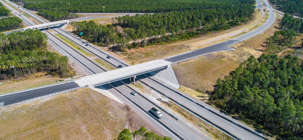
During the design phase, STV introduced 3D corridor modeling, which allowed engineers and reviewers to visualize grading, drainage behavior and structural relationships with a level of detail that enhanced coordination and reduced conflicts during later phases. It also helped facilitate the ultimate interchange configuration at NC 140/I‑140, which would support future growth and long-range network plans.
“Bringing 3D corridor modeling onto this project gave NCDOT an unprecedented level of detail during design,” Stephens said. “We could immediately see conflicts, refine solutions and give contractors a clearer, more accurate picture of the work ahead.”
Environmental Sensitivity and Community Collaboration
The project area included wetlands, flood-prone areas, and established neighborhoods – conditions that required close alignment among engineering, environmental stewardship and community expectations. The broader U.S. 17 improvement program, including planned bypass segments, has undergone extensive federal and state environmental review under the NEPA/404 merger process, which helps coordinate transportation needs with protections for wetlands and water resources.
Within the immediate project footprint, STV and NCDOT adapted the roadway design to address unique community considerations, including stormwater infrastructure from nearby developments encroaching into the proposed right-of-way and the presence of historic cemetery grounds near Market Street. These refinements verified that the project respected cultural resources and maintained essential drainage and hydraulic functions.
“These were not just engineering challenges; they were community conversations,” Stephens said. “Our role was to listen, adapt and deliver solutions that met the needs of the community while being mindful of the area’s rich history.”
Building for Capacity, Connectivity, and Resilience
Regional analysis shows that the extension provides a valuable alternate route for travelers in northeastern New Hanover County, helping reduce pressure on historically congested Market Street and I‑40. Projected long-term travel demand suggests the corridor will attract traffic volumes comparable to other major Wilmington arterials, an indicator of its strategic role in meeting future mobility needs.
NCDOT leaders have also emphasized the road’s importance for regional economic activity and overall quality of life. Improved access to I‑140 enhances connections to employment centers, the Port of Wilmington and emerging residential and commercial districts.
“This project reflects what great transportation design is all about,” Stephens said. “Solving real challenges, improving communities and creating infrastructure that stands the test of time.”