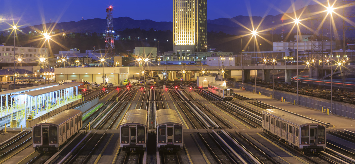
As the world looks ahead to 2026, when the United States will simultaneously host the FIFA World Cup and commemorate the 250th anniversary of the nation’s founding, one theme has come sharply into focus: how major global events increasingly double as stress tests for urban infrastructure.
With host cities preparing to welcome millions of domestic and international visitors, advanced heat mapping and proactive climate‑resilience planning offer an opportunity to protect passengers and strengthen community mobility systems amid record travel demand.
This challenge is unfolding alongside a suite of region‑shaping mobility investments, from large-scale transit upgrades to zero-emission fleet transitions designed to support both everyday riders and event-driven surges.
To explore how heat mapping can bolster resilience planning for major events, STV spoke with Lea Pelleteret, a resilience planner, to discuss how agencies can anticipate evolving risks, design modular interventions and deliver a lasting mobility legacy that supports cities long after the final celebration concludes.
1. Why is heat planning emerging as a priority for major events?
Historically, heat planning at sporting events and other large gatherings has been centered on hydration, building cooling strategies and medical response. Plus, transit systems in less variable climates didn’t face significant heat constraints on mobility.
But crowd volumes, slower boarding, longer dwell times and car-centric travel patterns can all compound heat exposure. That’s why heat mapping is essential. It helps us pinpoint where passengers may experience dangerous conditions and guides practical, scalable interventions that improve safety and comfort.
Solutions like intuitive wayfinding is one way to mitigate visitors walking long distances in full sun. And optimizing service plans with the technology behind Traffic Signal Priority to account for each day’s unique activities can strike a balance among different modes of travel. Planning, not just infrastructure, is the solution.
Effective heat planning starts before design, identifying requirements and understanding the connections between vulnerable spaces and transportation. Coordinating among different modes of transportation and their stakeholders to improve connectivity for older travelers, children and others who may experience heat differently must be considered.
2. What types of data go into a heat mapping effort?
When developing assessments, we look at microclimates, ridership projections, peak occupancy, shading availability, materials performance and even behavioral patterns (where people tend to cluster, bottleneck or slow down). Past STV climate assessments can go beyond how infrastructure responds to extreme temperatures to map people and infrastructure together. These data layers help agencies design safer station environments, reduce wait‑time discomfort and maintain reliable service during extreme heat.
We also consider emergency responses: Where are EMS access points? Are there areas of refuge? Historically, emergency management and resilience infrastructure planning don’t always intersect. We map emergency access points and evaluate potential areas of refuge to strengthen coordinated response. Heat mapping helps align them.
3. What are some practical, high‑impact interventions and planning solutions agencies can consider?
Not every solution needs to be a large capital project, especially if adaptive reuse is a priority. If the venues are designed to be flexible and temporary, we should apply the same lens to transportation. Adaptive, modular strategies can deliver meaningful resilience quickly.
Some of the most effective approaches include:
- Shade structures and temporary canopies at high‑volume areas
- Areas of refuge, such as air‑conditioned pods or cooled platform huts
- Misters and hydration stations strategically placed where crowds form
- Operational strategies like adjusting train frequency to reduce wait times and crowding
- Staffing and wayfinding support to help passengers move quickly and avoid unnecessary exposure
- Real-time transit notifications like heat alerts, platform occupancy or route guidance
Heat solutions can be temporary (like shade sails) or permanent (like new materials with reflective coatings). The key is building a decision-making matrix that supports both. That’s why agencies bring in resilience teams early: we help identify what should be installed permanently, which interventions should be permanent, which can be modular, and how each aligns with long‑term policy goals.
4. Where does financing fit into heat resilience, especially for events of this scale?
Heat mitigation can struggle for funding because benefits (improved comfort, fewer medical incidents, better operations) aren’t always captured in traditional cost-benefit models.
What makes this moment especially promising is the growing field of resilience finance: dedicated funding mechanisms tied to avoided losses and improved system reliability.
If heat resilience is embedded through design, materials, operations and planning, the event may be temporary, but the mobility network gains durability, reliability and community benefit for years to come.